
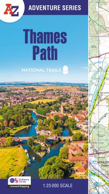
The A-Z Adventure series features the accuracy and quality of Ordnance Survey’s 1:25000 mapping in a convenient book, therefore eliminating the need to fold and re-fold a large sheet map to the desired area. OS 1:25 000 is Ordnance Survey’s most detailed mapping, showing public rights of way, open access land, national parks, tourist information, car parks, public houses and camping and caravan sites. The Thames Path is a National Trail which covers 298km (185 miles) and follows the length of Englands longest river, the Thames, from its source in the Cotswolds to the Thames Barrier in Greenwich, London. This A-Z Adventure Atlas of the Thames Path features 61 pages of continuous Ordnance Survey mapping providing complete coverage of the Thames Path. Clearly highlighted in yellow, the route is easy to identify and shows both north and south bank alternatives. In addition mileage markers have been introduced to the map making it easy to gauge distances when planning your own sections of the walk to enjoy.